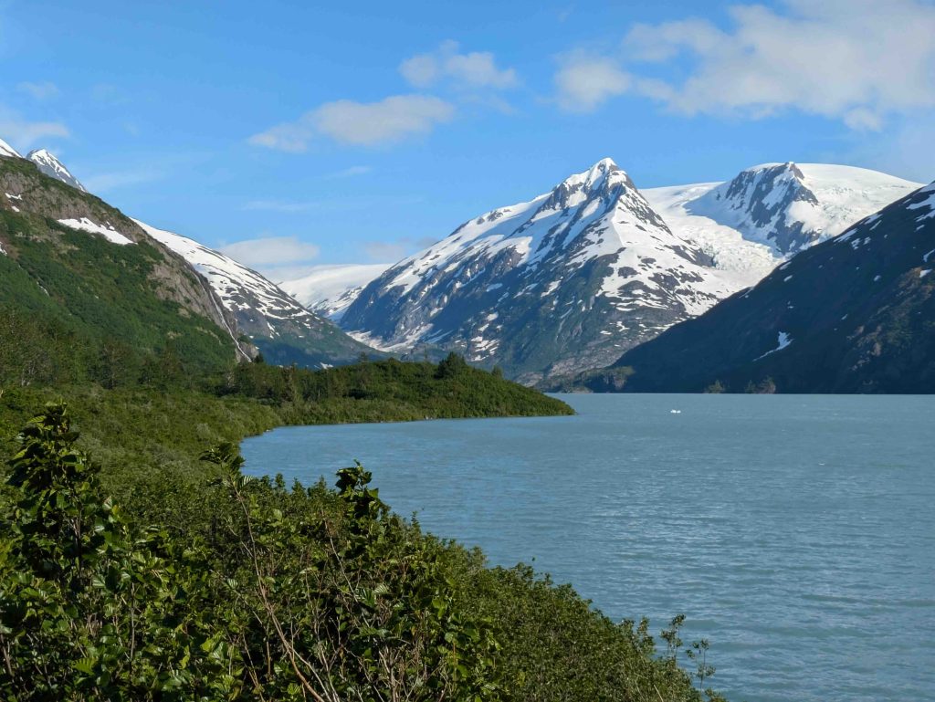
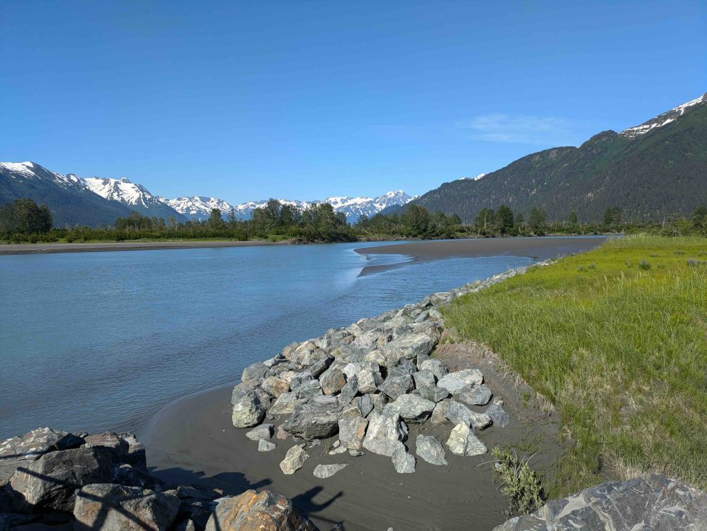
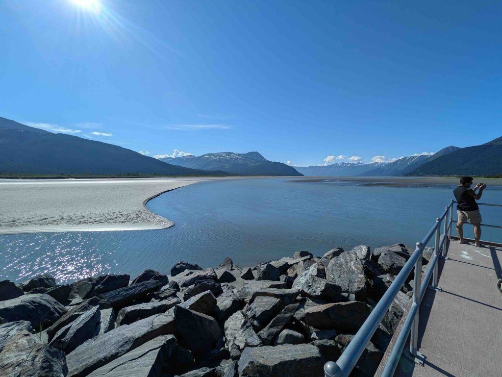
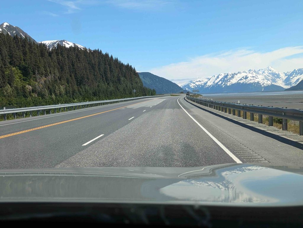
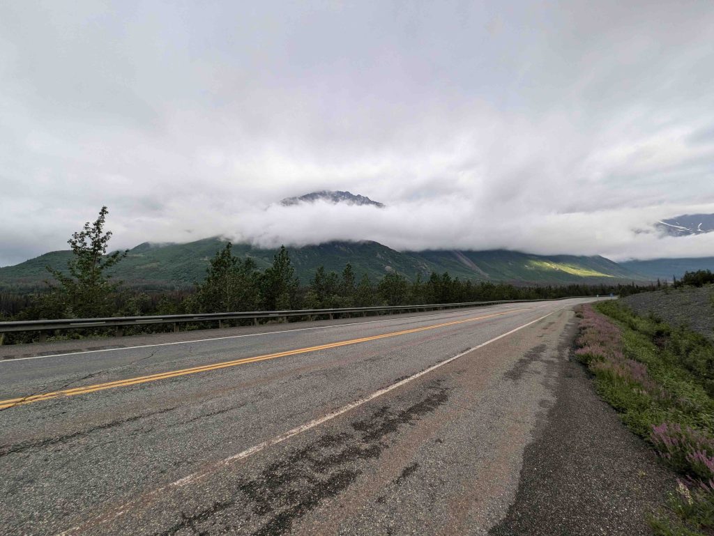
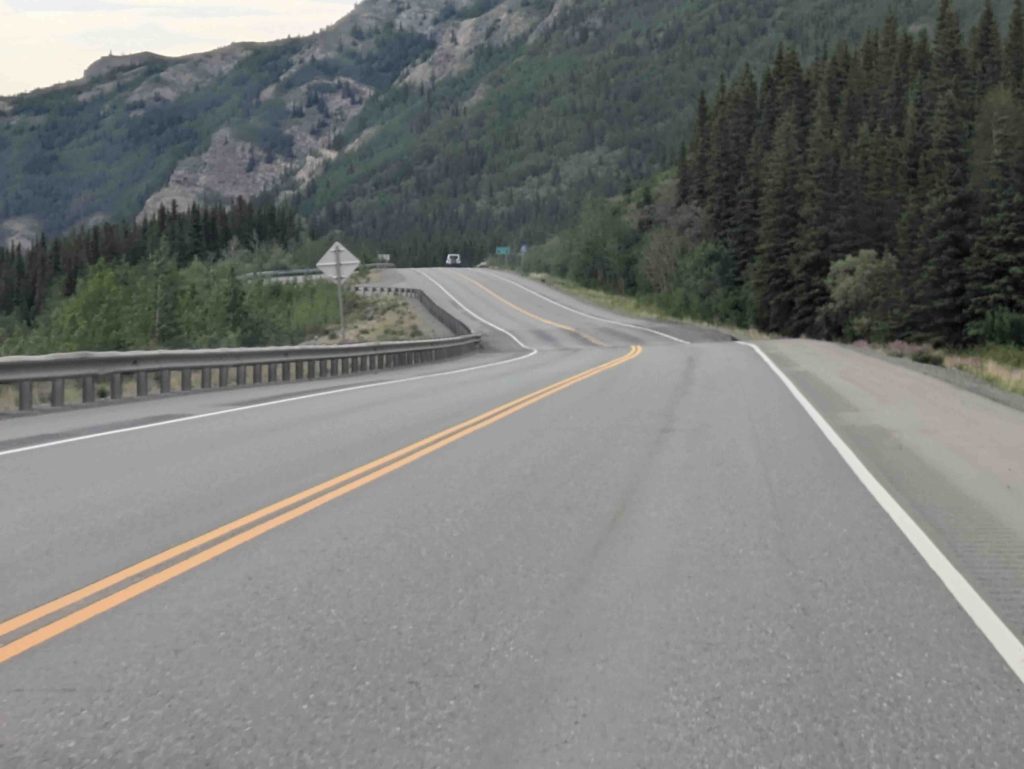
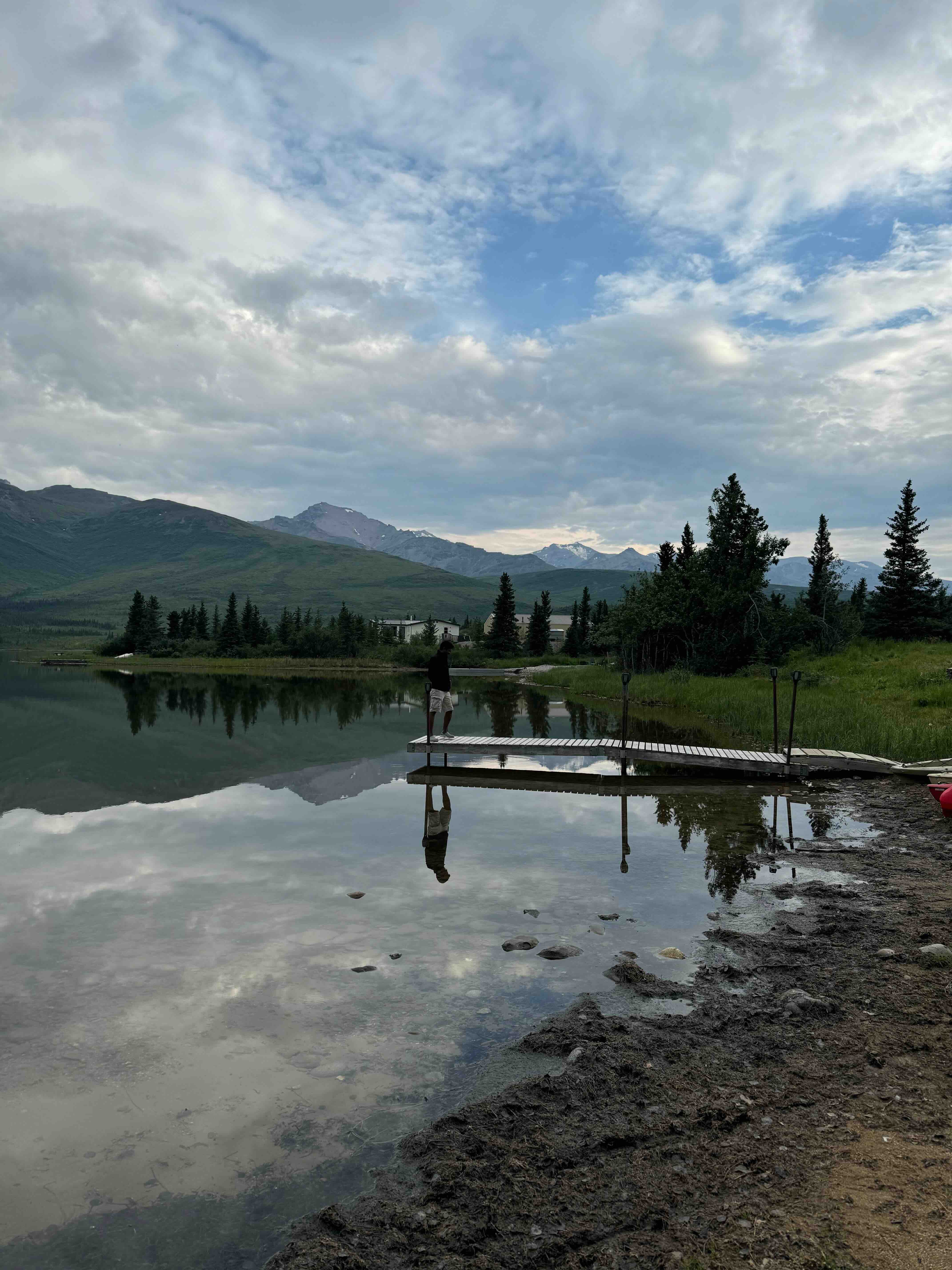
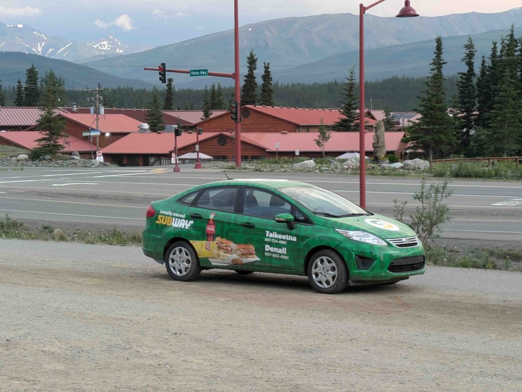
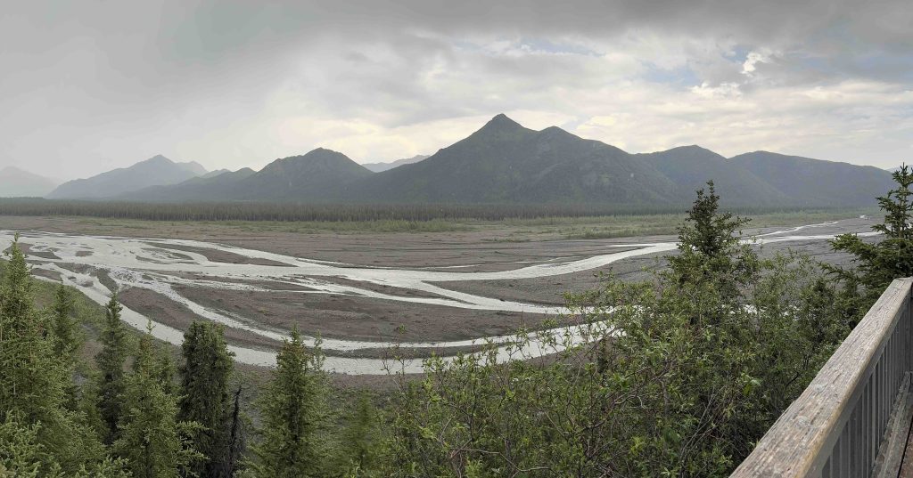
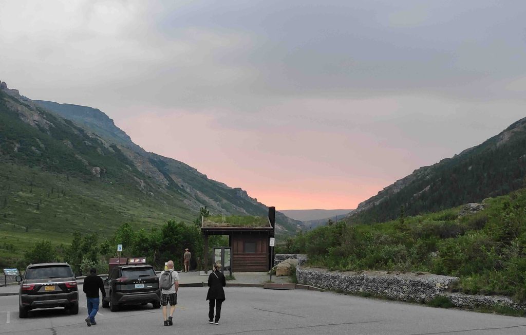
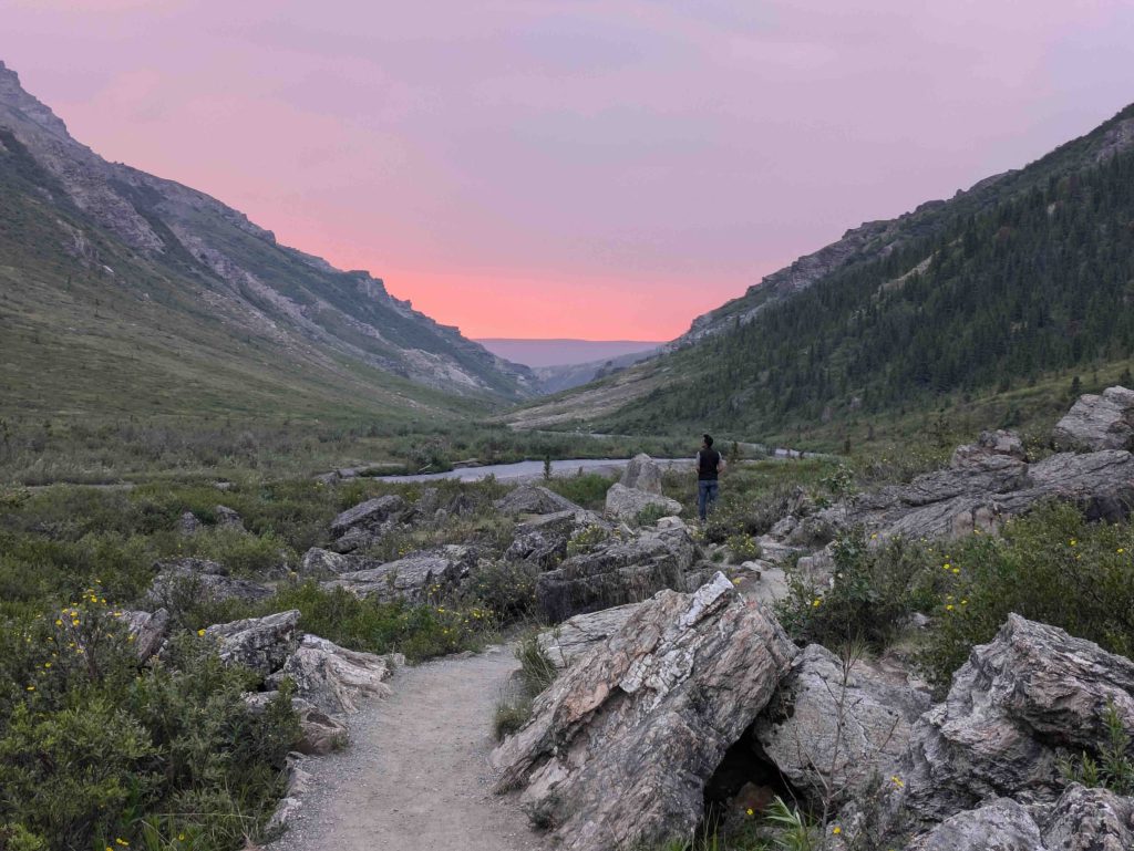
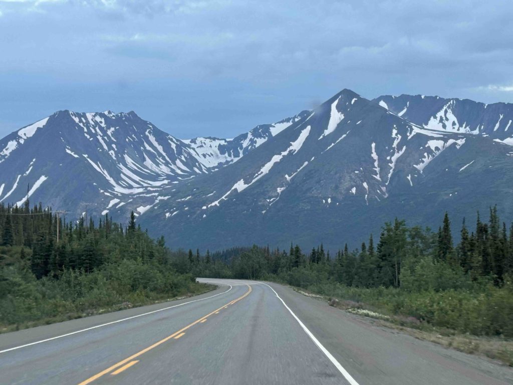
Seward is about a couple of hours’ drive.
“We are not going to make it in time for dinner. Most places would have closed.”
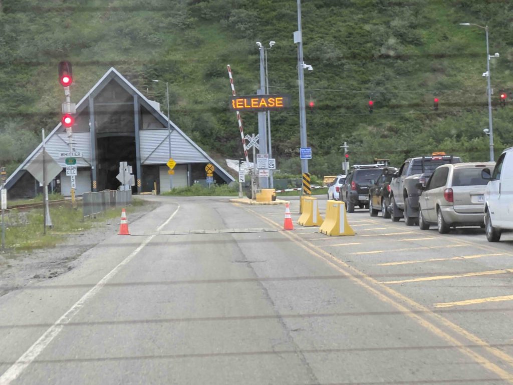
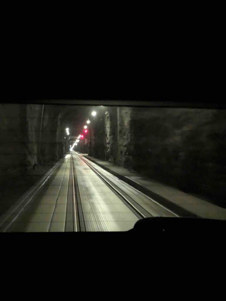
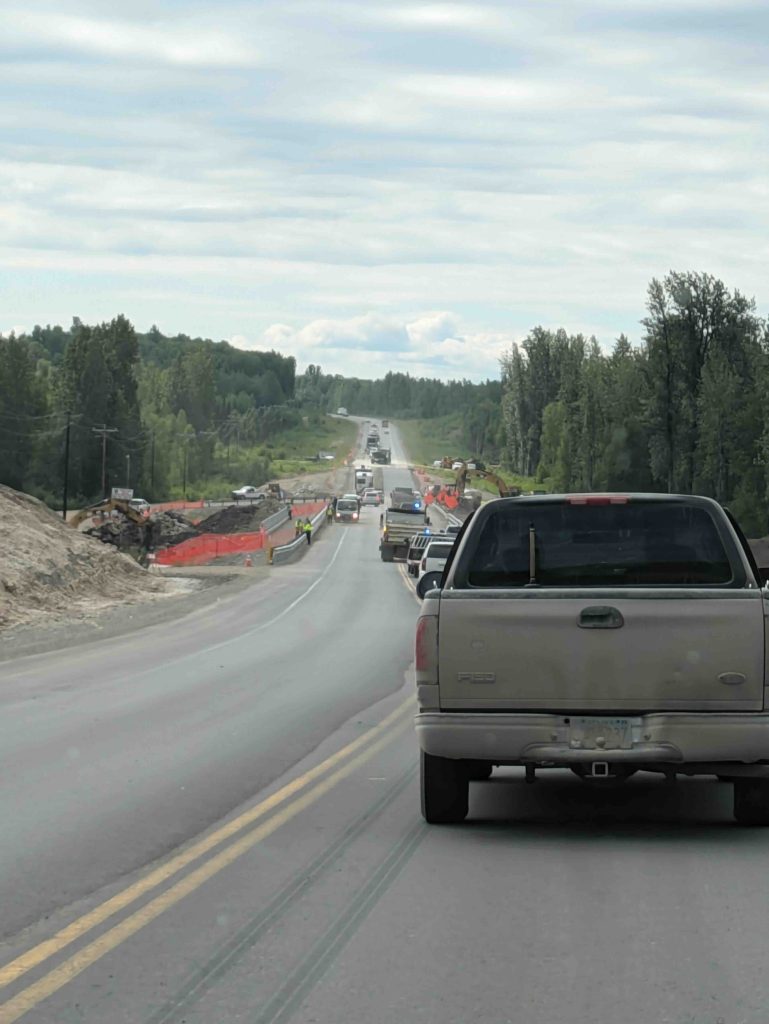
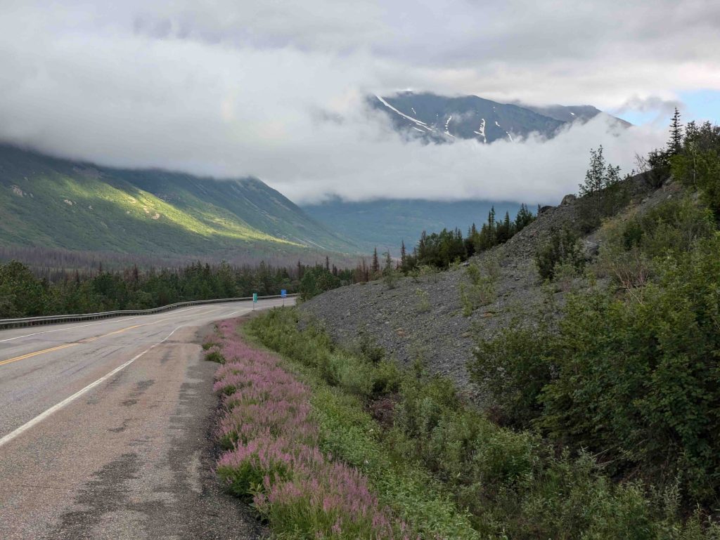
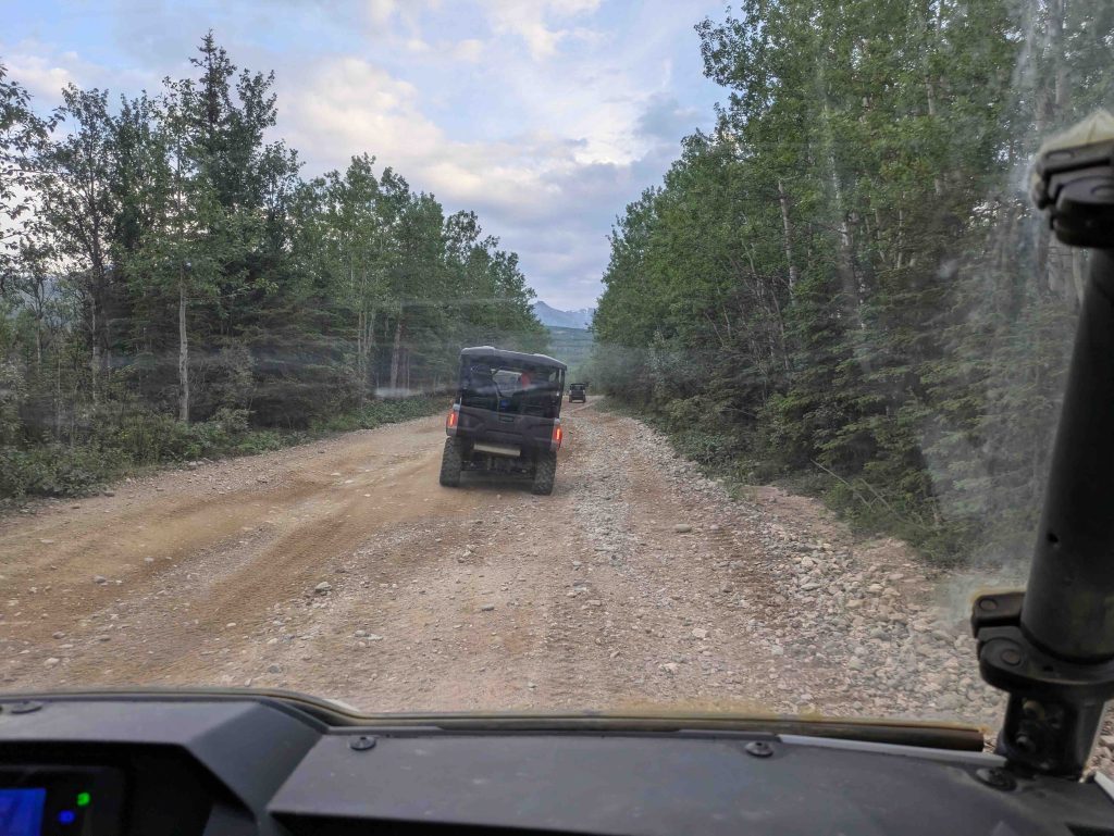
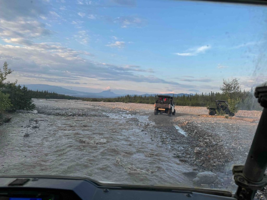
Our ETA was around 10:50 pm, and if we made it, we might be lucky and find some places that closed only at 11. Unfortunately, we discovered that many stretches of the road were under construction. And similar to the incident earlier while returning from Denali, you had cars lined up waiting for their turn to use the road – and over here we also had a ‘pilot car’ that we had to follow – sort of like the F1 races where you have the safety car come out. When that was on the track, you are not allowed to overtake anyone and have to stay at a speed lower than the safety car. There are two flaggers on either side of the construction zone, and they decide which lane is halted and which is allowed to move.
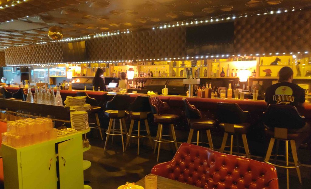
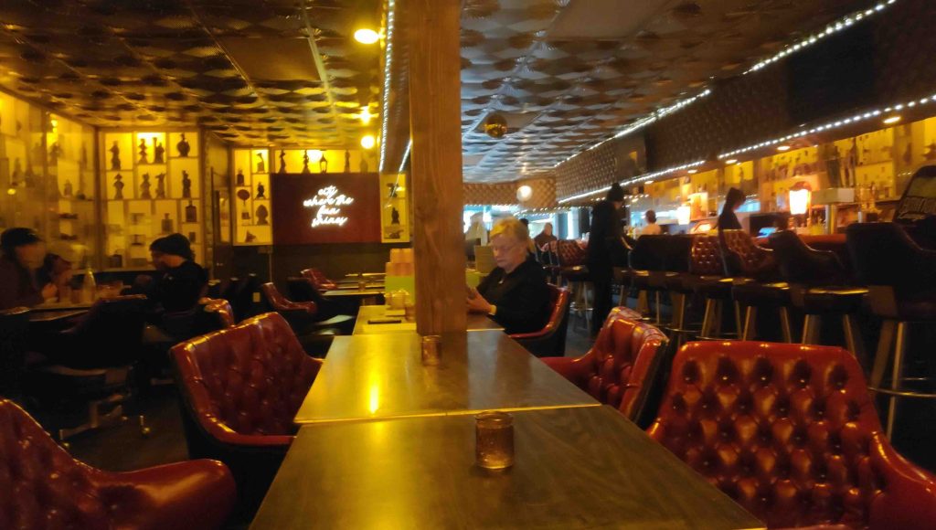
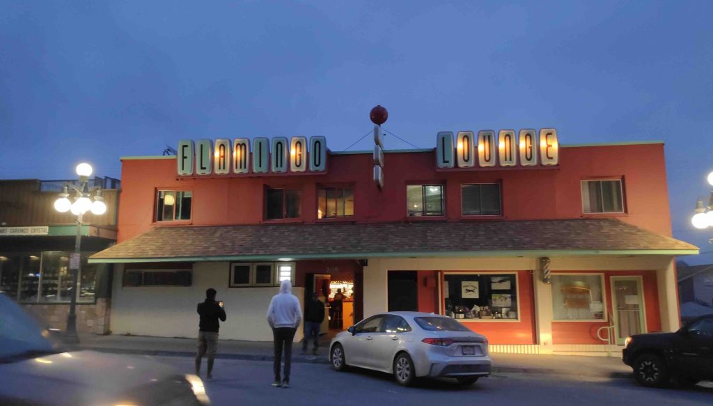
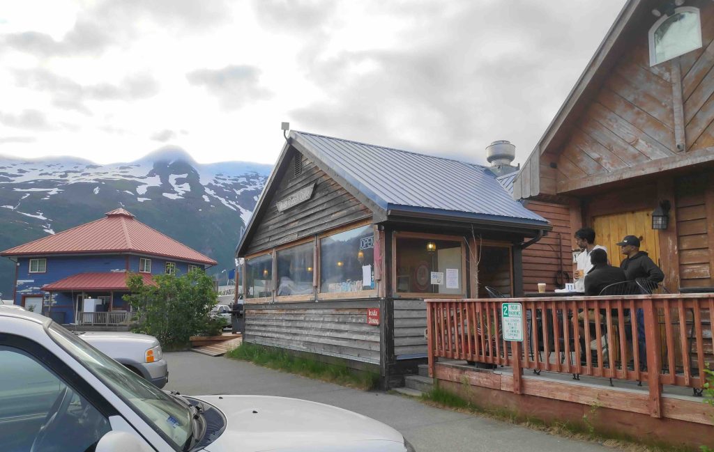
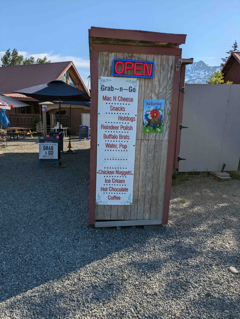
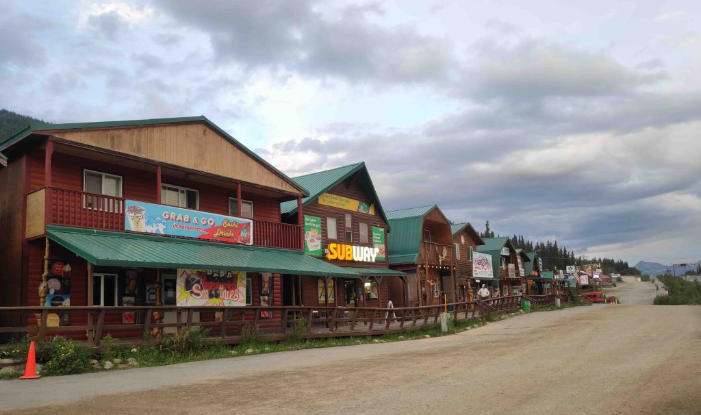
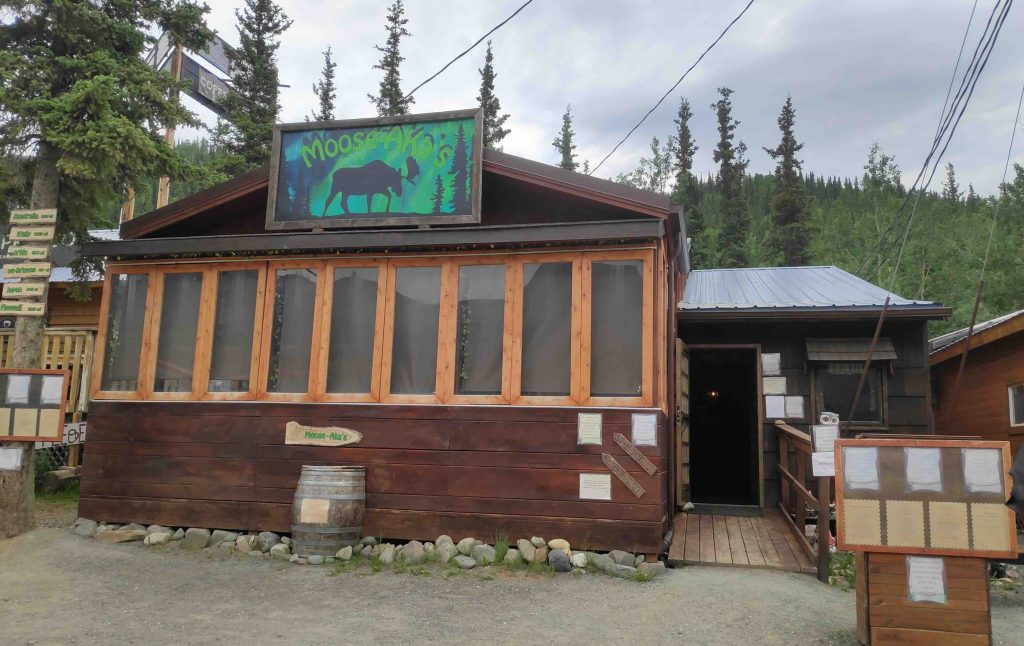
The net result was that we reached Seward only at 11:10 pm, and most places had closed. I had snacked on the salmon burger and wasn’t hungry, but our veggie boys had barely eaten anything. As you come down Seward Highway, it takes you to what appears to be Seward Downtown with a cluster of shops, restaurants and bars. There was the Flamingo Lounge, which we decided to check out. We also walked across the street to see if anything else was open – there were a couple of other bars, but they seemed much more inclined to drinks than to food. There were still a fair number of people inside the bars. We returned to Flamingo since it did have restaurant-type seating on one side. The first thing that struck us over here and in the other bars was that the setting gave you this old school vibe – like interiors similar to what may have existed in the 1970s and 80s. It felt cosy. The place was open till midnight.
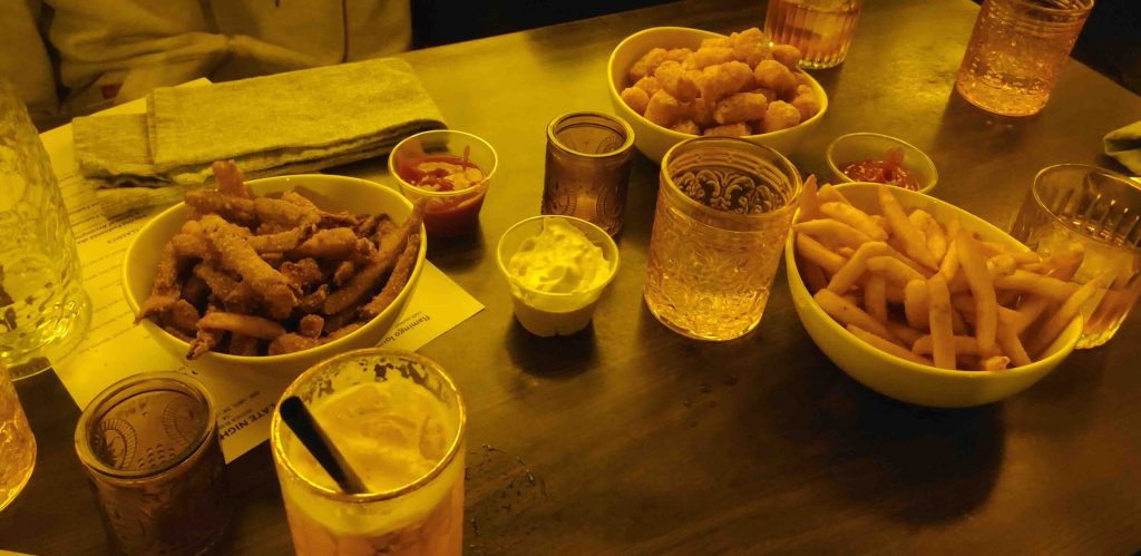
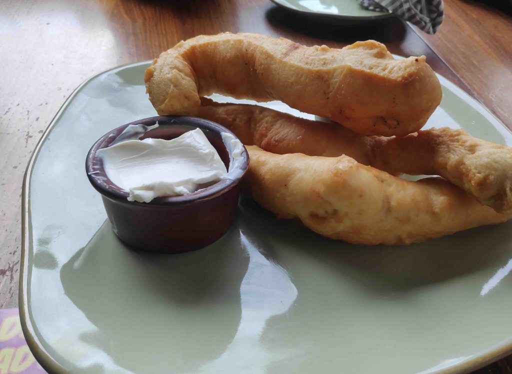
There wasn’t much to eat for the veggies – fried pickles (jalapeños), chips and potato fries. Raghav ordered all 3 dishes. For non-veggies, there was fish, pork and reindeer meat available – but again, everything was the fried type that was meant to be sides for drinks. Raghav also ordered an alcoholic cocktail drink, where he asked the bartender to substitute the alcohol!
We stepped out at midnight, and Rakesh drove us in the direction of our next stay – a cabin in Seward. We had to go back up the Seward Highway. There weren’t many vehicles or people out on the street at this hour, but as we were driving, we saw a cop’s car in the opposite lane. As we went on, the cop’s car turned around and followed us.
“Slow down,” Moorthy said, and Rakesh pulled over. The cop was coming for us!
So the rule here is that you shouldn’t step out of the car, but hand over your documents to the cop.
“Where are you from?”
“Coming from New Jersey,” Rakesh said coolly.
“Give all the rental documents and insurance.”
Rakesh handed over the papers.
“Your headlights were not on.”
“Oh, it’s a rental car, and I thought it had come on automatically. Didn’t realise.”
“Where are you coming from Seward?”
“Uh… We were just here at the…” Moorthy tried to step in and answer, but the officer cut him off, “Question was to him. Let him answer. He is responsible for his driving.”
“From Flamingo,” Rakesh said.
“What did you have?”
Moorthy later said that this was a subtle way for them to figure out if you were driving after a drink.
“We were looking for some food. So just had some fries there.”
“Where are you staying in Seward?”
Rakesh gave the place of our Airbnb booking.
The officer did go back to his car to check something and then returned.
“Do you know the speed limit here?”
“No.”
“You are driving without knowing the speed limit?”
Wrong path to go down, and Rakesh quickly corrected himself, “No – I mean it’s 25.”
“And do you know how fast you were driving?”
“I was slowing down to 30. Because I thought it was 35 earlier, and it was 25 in this area.”
“You were going at 37. This is a residential area, and everywhere the speed limit is 25. It’s 6 points for a speeding violation.”
“Sorry. This was my first time, and I was reducing the speed.”
After a brief moment, the officer said, “I’ll let you go with a warning for now. Get a good meal for your family and friends.”
Fortunately, no fine, and Rakesh drove slowly, sticking to the 25 limit.
“I wasn’t at 37. When I saw him on the other side itself, I had lowered my speed. But problem was that headlights weren’t on.”
With the new car, we struggled to figure out if the headlights were on or not – I even went through the car’s booklet to understand how it worked, but it wasn’t clear.
“I don’t think they will put a fine easily on visitors since they’d want to be welcoming to tourists,” Moorthy said.
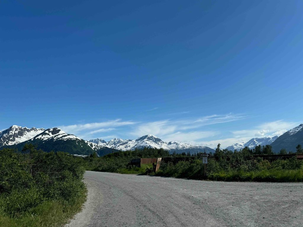
We reached our cabin area in a few minutes.
“Which one is it – there are two – the one on the right or the left?”
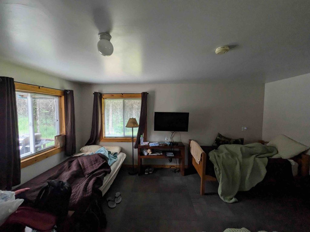
We were on a road named Blying Sound Dr, and according to Google Maps, we had arrived at our location. We had a door number of 32280, but there were 2 individual cabins a few feet apart, both painted dark blue with red roofs.
“No signs of anyone present in either of the two.”
There were no vehicles either, and both cabins looked identical. After going around both properties a couple of times with our flashlights on, we confirmed which one it was.
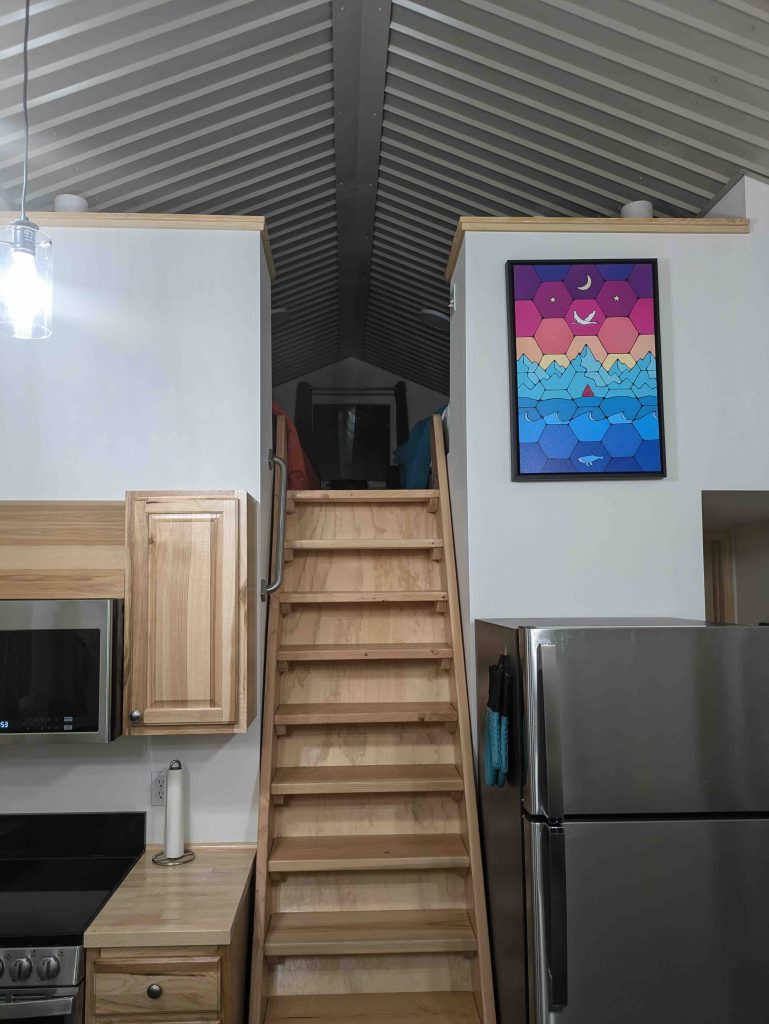
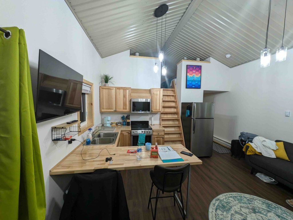
It was a cabin with a second floor, where a couple of beds were stashed.
“Nice setup, but the stairs are narrow. Would be risky at night if someone stepped on it without paying attention.”
And for me, there was a height problem on the 2nd floor – if I stood straight, my head knocked against the ceiling.


